
SIMT 1 at a glance
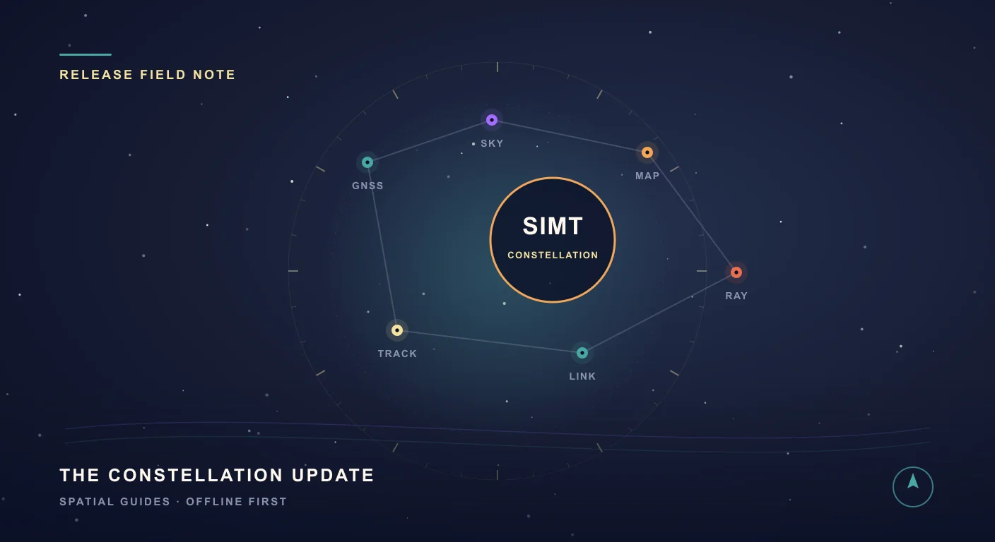
SIMT 1 opens the biggest release wave the app has shipped to date. We call it the Constellation Update, because constellations are exactly what it is about: the satellite constellations you can now command in the new GNSS tool, the constellation of devices you can link over local Wi-Fi, and the real constellations you can now pin to your compass as celestial targets.
If you have ever wanted one app that handles the parking garage, the trail, the night sky, and everything in between, this is the update that makes the case. Here is everything in detail.
Map Creator mode: write on your own map
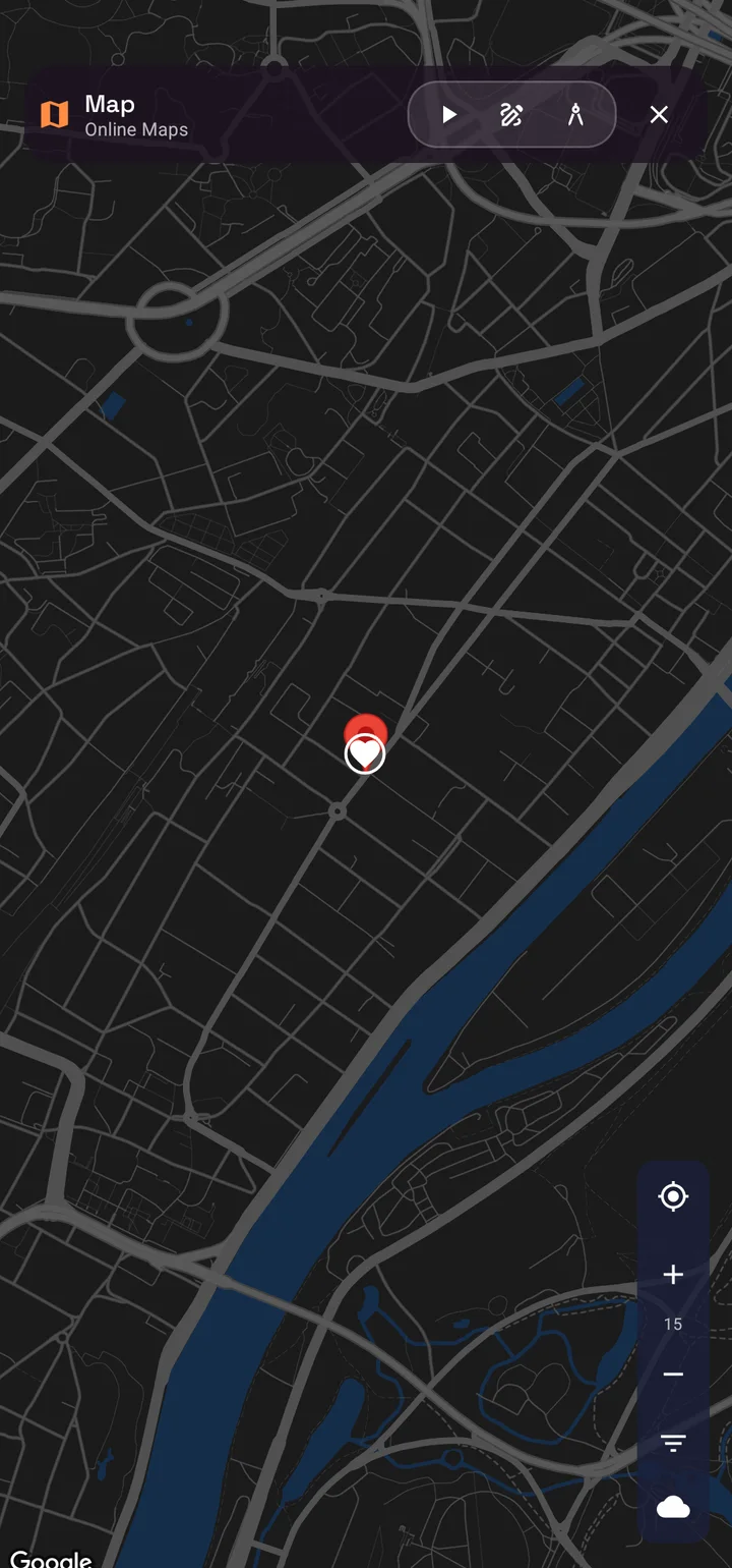
Maps name the world for everyone. Your world deserves your own names. The new Creator mode on the SIMT map adds an Editor toggle that turns the map into a canvas: drop new targets directly where you tap, and place dynamic text labels anywhere on Earth.
- Tap the map to set exactly where a label appears, then type what matters: a gate code hint, a parking level, a trailhead note, a berth number.
- Tune each label's font size and choose the zoom range where it appears, so close-up details stay hidden until you actually zoom in.
- Labels are pinned to real coordinates and render cleanly over any map style, with smart overlap handling so the important ones stay readable.
- Long-press any label to edit or delete it, and use the Text filter to show or hide all your labels in one tap.
Your labels live on your device and travel with your map everywhere, online or offline. It is your territory, annotated in your own words.
The new GNSS tool: take command of the satellites above you
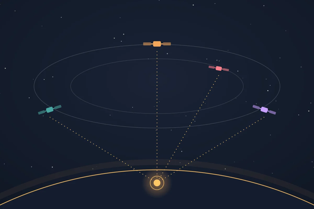
Most apps treat location as a black box. SIMT now opens that box completely. The new GNSS tool puts three positioning pipelines side by side on a live map: your phone's fused location, the classic GPS provider, and SIMT's own raw GNSS engine, which processes satellite measurements directly on your device.
- Choose exactly which satellite systems contribute to your fix: GPS, GLONASS, Galileo, BeiDou, QZSS, NavIC, and SBAS can each be toggled on or off.
- Pick a correction mode: broadcast-only, PPP precise point positioning via SSR streams, or RTK against NTRIP base stations, with fully editable caster settings.
- Watch live diagnostics as the solution converges: residual error, satellites tracked, constellations in use, and correction streaming status.
- Pin any fix to compare pipelines, set it as your current location, or turn it into a target on the spot.
Background GNSS fetching: precision that does not make you wait
High-precision fixes take time to converge, and your time is better spent elsewhere. GNSS location fetching now continues in the background: start a session, leave the app, and SIMT keeps listening to the sky until your position is ready.
SIMT also downloads fresh satellite orbit data automatically while a session runs, pre-seeding the engine with broadcast ephemeris so the solver starts working before your phone's chipset has even finished decoding the same data from the sky. The result is a faster first fix and a smoother path to convergence, with the heavy lifting invisible to you.
The Orrery: a living solar system in your hand
Spin the planets a century forward, watch conjunctions form, then tap any world and aim your compass at it.
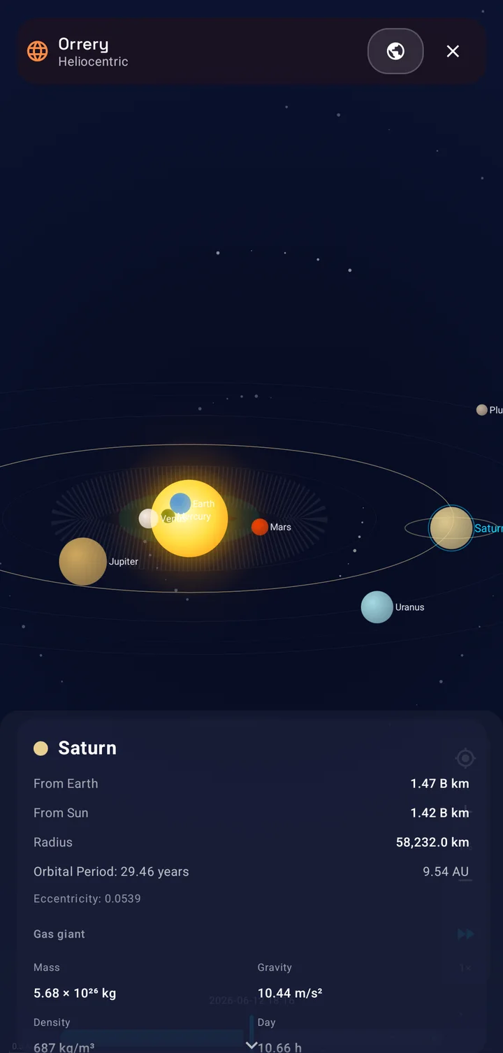
The Orrery is a fully interactive solar system viewer, computed entirely on your device. Two perspectives are built in: Heliocentric mode puts the Sun at the center with every planet from Mercury to Pluto on its true orbit, while Geocentric mode rebuilds the sky around Earth, the way you actually experience it, with the Sun, Moon, planets, and even your own tracked satellites positioned relative to you.
- Tap any body for a detail card with its distance from Earth and from the Sun, orbital period, and a full physical profile.
- Scrub time up to a hundred years in either direction, or let it run at up to 100,000 times real speed and watch the solar system dance.
- Conjunction badges light up when planets meet in the sky, so you know exactly what that bright pair above the horizon is.
- A You Are Here marker keeps you anchored on Earth, and any body can be opened as a target and followed on the compass.
No internet, no telescope, no planetarium ticket. Just open the app and fly.
Keep reading The Orrery is a time machine — here is how to scrub it through eclipses, conjunctions, and rare planetary alignments.What Did the Sky Look Like the Night You Were Born? Time-Travel the Solar System with SIMT's Orrery Ever wondered exactly where the planets were the night you were born, or where they will be during the next total eclipse? SIMT's Orrery puts the whole solar system in your hand and lets you drag time backward and forward to find out, entirely offline.New celestial targets: pin the deep sky to your compass
Targets are no longer bound to this planet, or even to this solar system. The new Celestial target type lets you create targets for anything in the deep sky: enter a right ascension and declination, optionally add a distance in light years, and SIMT places that star, nebula, or galaxy on your compass.
- Positions are computed offline from your location and the current time, so the compass always points to where the object really is in your sky.
- Celestial targets ride the compass outer ring alongside the Sun, Moon, and planets, with the same alerts and details as any other target.
- Share them like any target: a friend can scan a QR code and have the same galaxy on their compass seconds later.
Point your phone at the Andromeda Galaxy from a city sidewalk. Even when you cannot see it, SIMT knows exactly where it is.
Satellite targets: put anything in orbit on your compass
The sky is full of moving targets, and now you can follow them too. The new Orbital target type lets you add any satellite to SIMT from its TLE, the two-line element set that describes an orbit. Paste in the TLE for the Space Station, a Starlink unit, a weather satellite, or your own favorite pass, and SIMT propagates its position in real time and pins it to your compass.
- Satellites join the Sun, the Moon, and the planets as orbital targets, riding the same compass outer ring and updating live as they move across the sky.
- Positions are propagated on your device from the orbit data, so tracking keeps working with no connection once a satellite is added.
- Open any satellite for the same sky details as the Moon or a planet: azimuth, elevation, distance, and its next rise and set.
- Arm rise and set alerts to catch a pass before it begins, even while the satellite is still below the horizon.
From a bright space station flyover to a niche cubesat, if it has an orbit, SIMT can point you straight at it.
Keep reading Satellites get a full hands-on guide — how to aim a dish, catch the ISS overhead, and point at any TLE object.How to Track Satellites with SIMT: Aim a Dish, Spot the ISS, and More From aiming a satellite dish to catching the ISS overhead, SIMT turns any satellite into a direction you can actually point at. Feed it a TLE and it computes the live azimuth, elevation, and range on your device, then guides you there with the compass and Iris AR, even with no signal.Rise and set, at a glance
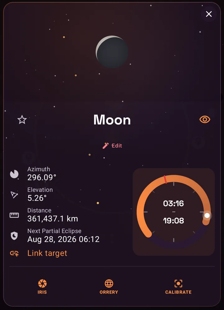
Every sky target now answers the most practical question in astronomy: when can I actually see it? Sky target details gain a 24-hour dial that draws the object's day at a glance, with its rise and set moments as endpoints on the ring and its culmination, the moment it stands highest, marked along the way.
- The dial covers the Sun, the Moon, every planet, and your custom celestial targets.
- Satellites get precise next rise and set readouts, so you know when a pass begins.
- New On Rise and On Set alerts can notify you the moment any sky target crosses the horizon, perfect for catching a moonrise or a satellite pass without watching the clock.
Target alerts: a nudge exactly when it matters
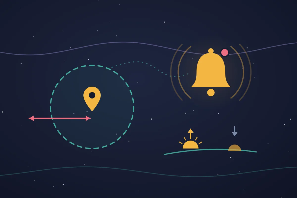
Targets can now reach out to you. SIMT 1 adds per-target alerts in two flavors: geofence alerts for places on the ground, and rise and set alerts for objects in the sky. Set them once on any target and let the app keep watch for you.
- On Enter and On Exit: give a target a nearby zone, and SIMT notifies you the moment you cross into or out of that radius, whether it is a parking spot, a trailhead, a meeting point, or a boundary you want to respect.
- On Rise and On Set: for sky targets like satellites, the Sun, the Moon, the planets, and your celestial targets, SIMT can alert you the instant the object climbs above or drops below the horizon.
- Alerts are set per target and work independently, so you can geofence the places that matter and follow only the passes you actually want to catch.
- Triggers are evaluated on your device from GPS and on-device sky math, so enter, exit, rise, and set alerts keep firing even with no connection.
It turns your target list from a static map into something that quietly watches the world and the sky on your behalf.
GeoQuest: how well do you really know the world?
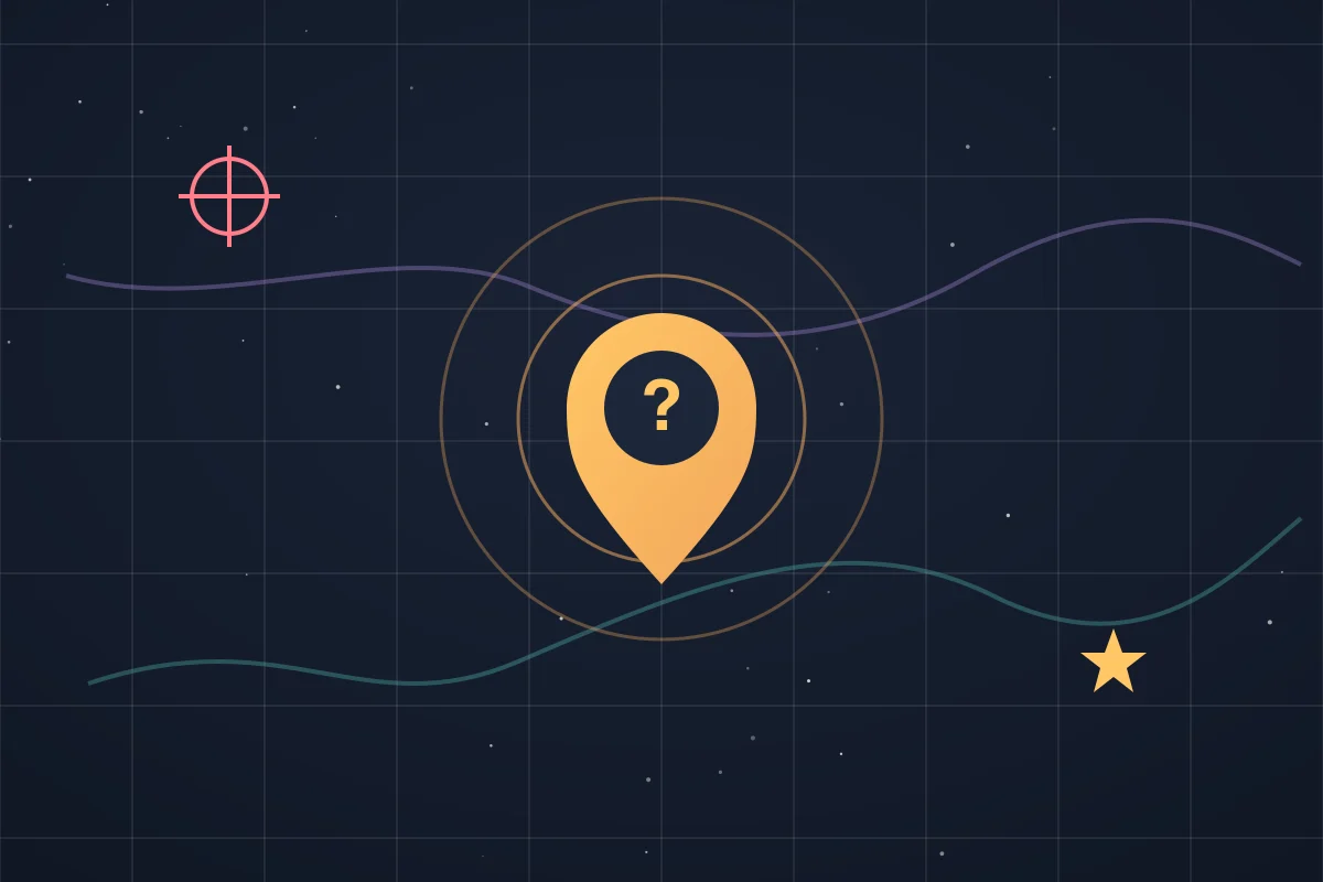
Navigation skills deserve a playground. GeoQuest is SIMT's new geography game: the app names a place, and you drop your guess on a world map. Five rounds, a ticking timer, and a scoring system that rewards both precision and speed.
- Major Cities: around 300 famous cities and a generous 30-second timer, the perfect warm-up.
- Capitals: every capital on Earth with 20 seconds per round.
- Explorer: the brutal mode, any of more than 33,000 cities worldwide with just 15 seconds to commit.
- My Targets: the personal mode, where the game quizzes you on your own saved targets. How accurately can you place your own life on a map?
Each round starts from 5,000 points, loses points with every kilometer you miss by, and pays a time bonus for quick answers. Land within 50 kilometers and the game calls it perfect. And in a very SIMT twist, any guess can be saved as a real target, score attached, so a lucky shot can become a future destination.
Keep reading GeoQuest is the offline GeoGuessr alternative fans keep searching for — here is why it is perfect for a flight with no WiFi.The Free, Offline GeoGuessr Alternative That Works on a Plane You are 35,000 feet above the Atlantic. Your flight is six hours long. You have already watched the film and the battery on your AirPods is half dead. And then you remember: GeoGuessr costs money and needs WiFi. Here is the free, offline alternative you did not know you had.Plumb Bob: a new compass view for the vertical world
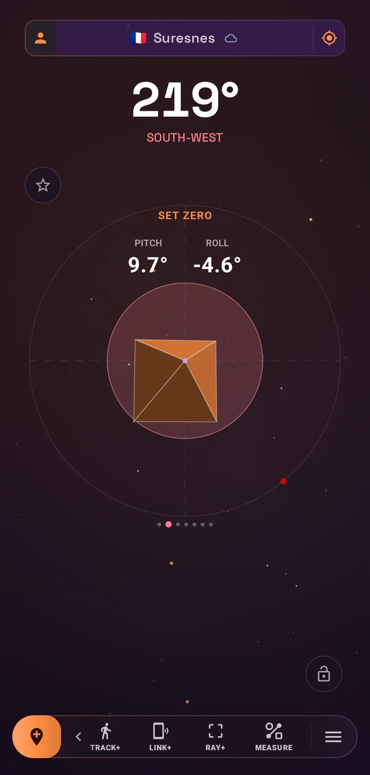
The compass view pager gains a new member: Plumb Bob, a digital take on the oldest precision tool in construction. It visualizes your phone's orientation against gravity itself, with live pitch and roll readouts rendered in a clean instrument-style display.
- Check a shelf, align a post, level a frame, or verify a slope with the device you already have in your pocket.
- Set Zero calibrates against any reference surface, and Reset to World snaps back to true gravity.
- Swipe to it like any other compass view, no separate tool to hunt for.
Together with the existing measurement tools, Plumb Bob makes SIMT a genuinely useful companion on a job site, not just on a trail.
Image cropping: keep the detail, cut the noise
Target photos carry real information: the door you entered, the pillar code next to your car, the sign at the trail junction. The new cropping tool lets you cut every photo down to exactly that information. Open any target image, draw a crop rectangle, move and resize it until it is right, and apply.
Cropping works hand in hand with the existing rotate tool, and SIMT asks for confirmation before anything permanent happens. Cleaner images mean faster recognition when you are standing in a garage trying to match a photo to a pillar.
Clusters: separate workspaces for separate lives
One compass rarely serves just one part of your life. The targets you keep for work are not the ones you save for a weekend hike or a research trip. SIMT 1 adds Clusters: four workspaces, Personal, Professional, Academic, and Leisure, that each keep their own set of targets visible on the compass.
- Every target remembers whether it is shown or hidden in each cluster, so the same place can sit front and center in one workspace and stay out of the way in the others, without ever being deleted.
- Switch your whole compass between clusters from the workspace label in the top bar, and the dial instantly redraws around the targets that belong to where you are now.
- New targets you create land in the cluster you are currently in, so a day of fieldwork in Academic does not clutter your Personal dial.
- The map follows the active cluster too, so showing only your visible targets reflects the workspace you are in.
It is the difference between one overflowing list and several focused ones: the same app, quietly rearranged around whichever part of your life you have open.
Linked targets: connect one place to another
Some targets only make sense in pairs: the car and the stadium gate you parked beside, a trailhead and the summit above it, two stars you always compare. SIMT 1 lets you link a target to another straight from its details, so the two belong together.
- Open a target, choose Link target, and pick its partner. For places on the ground SIMT offers the targets around you, within about a kilometer, plus your anonymous targets; for sky targets it offers your other orbital or celestial targets.
- Once linked, the target shows its partner with a one-tap shortcut to jump straight across to it, and a clear option to remove the link whenever you like.
- In the Iris augmented-reality view, a target's linked partner rides along in the heads-up display, so both the place you are heading to and the one tied to it line up in the same camera frame.
Tappable links in target notes
Target notes are where the useful details live: a booking reference, the directions a friend pasted in, a link to the venue's page. In SIMT 1, any https:// address you put in a note becomes a real, tappable link.
- Links are underlined and open in your browser with a single tap, so a note can point straight to a reservation, a map page, or an article.
- Tapping and selecting still coexist: long-press to select and copy a note, or tap a link, without the two fighting each other.
- Recognition happens on your device as you read, and trailing punctuation like a sentence's full stop is politely left out of the link.
QR codes: share any target, scan it back in seconds
Getting a place from one phone to another should take seconds, with no account, no link to open, and no network in between. Every target in SIMT now carries a QR code. Open a target, show its code, and anyone can scan it straight into their own app.
- Share a target as a QR image: save it to your gallery or send it through any app, so a destination can travel by message, by print, or on a screen.
- Scan to add: the Add Target screen has a QR scanner built in, so importing a shared target is one scan away.
- It works for every target type, from a plain pin to satellites and deep-sky celestial targets, carrying the full target definition rather than just a coordinate.
- The whole exchange is offline and private: the code holds the target itself, so nothing has to round-trip through a server.
Hand someone the exact spot you mean, or the exact galaxy, without either of you typing a single number.
Link+ grows up: link multiple devices at once
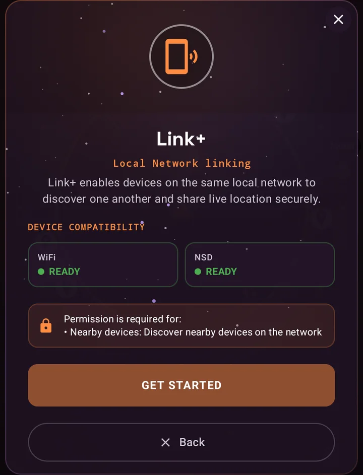
Link+ shares live location over the local network with no internet and no cloud, and it now speaks to multiple devices at the same time. The new dashboard shows every connected device and counts your active links, turning a one-to-one channel into a true local constellation: a family in a theme park, a dive crew on a boat, a team spread across a festival ground.
- Every linked device appears as a live moving target on your compass and map, in signature cyan.
- Send your location once, or enable live auto-share to broadcast your position to all linked devices every five minutes.
- Send a Pulse to raise a high-priority ping on every linked device when you need attention now.
- All traffic stays on your local network, secured end to end with mutual TLS, and never touches a server.
Online Google Maps: street-level detail when you are connected
SIMT's map has always worked offline, with a world map bundled right into the app. SIMT 1 adds the other half of the story: when you are online, the map can switch to Google Maps for street-level zoom and detailed, up-to-date tiles, then fall straight back to the offline map the moment you lose signal or turn it off.
- Online, the map draws on Google Maps for the close-in detail the offline base map cannot hold, right down to streets and buildings.
- Offline, or with online maps switched off in settings, SIMT reverts to its bundled offline map, so the screen never goes blank and the compass never stops.
- Your targets, tracks, and Creator-mode labels render the same on either map, so switching providers changes the detail, not your data.
It is the best of both worlds: a map that is always there offline, and one that goes deep the moment a connection is.
Online geocoding: sharper names when the network is there
The first beta named places from an index baked into the app, fully offline. SIMT 1 layers online geocoding on top: when you are connected, a coordinate can resolve to a far more precise address than the bundled city list alone, while the offline index stays on as the automatic fallback.
- Online, SIMT resolves your position to a sharper, more detailed place than the offline index alone, down to a neighbourhood or street where the data allows.
- It is a layer on top of, not a replacement for, the offline lookup: lose signal or switch Online Geocoding off, and SIMT falls back to the bundled index and keeps naming places.
- The richer names flow through everywhere a place name appears, from your current location to your target details.
Offline you always get a name; online you get a sharper one, and you never have to choose in advance.
Weather on the compass
The compass home now reports the sky's mood as well as its directions. A live weather icon joins the top display, powered by the Open-Meteo service, refreshing hourly and following your manual location when you have one set.
It is deliberately quiet: one glanceable icon, no banners, no noise. And because SIMT stays honest about connectivity, the icon simply steps aside when you are offline or when you switch the Online Weather setting off. Nothing in the core compass ever depends on it.
Google Drive backup: your spatial life, portable
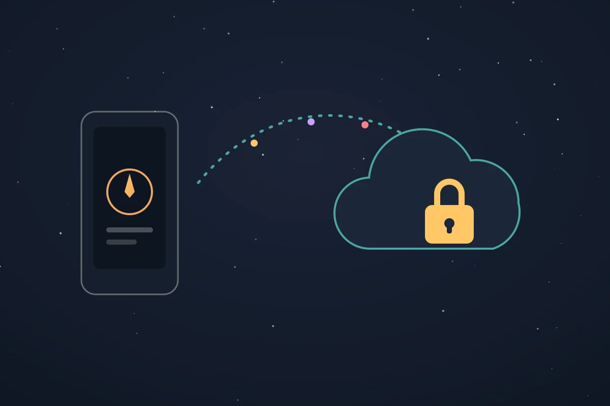
Your targets, tracks, custom map labels, settings, and target photos add up to something precious: a private map of your life. Data backup to Google Drive makes that map portable. One tap packs everything into a single backup, with large photos compressed intelligently, and stores it in a private app folder on your own Drive that only SIMT can see.
- Restore on a new phone and pick up exactly where you left off, images included.
- Enable automatic weekly backups and never think about it again.
- Sign-in is only needed for backup itself; everything else in SIMT keeps working without any account.
- On-device by default stays the rule: backup is optional, explicit, and entirely yours.
The Help Center: learn every corner of SIMT
SIMT does a lot, and SIMT 1 adds a built-in Help Center so none of it stays hidden. Open it from the menu and you get a guide to the whole app, written around how people actually use SIMT, and all of it works offline.
- Use cases walk you through real scenarios, recovering a car from deep parking, navigating on the water, finding your group at a festival, accessible guidance, stargazing, and building, each one pointing you at the tools that fit.
- A searchable Features catalogue lets you tap any feature to see how to reach it, what it needs, which permissions it uses, and what each of its functions does.
- A Device Compatibility check scores your phone and shows, capability by capability, what is available to SIMT, from the magnetometer and camera to ARCore and dual-frequency GNSS.
- Everything lives on your device and is translated into English, French, and Arabic, with a link out to the SIMT Blog whenever you want to read more.
It turns a vague what-does-this-do into a two-tap answer, and makes the app's depth feel approachable rather than overwhelming.
Get the Constellation Update
Every feature in this release is free, and almost all of it works completely offline: the Orrery, celestial targets, rise and set visuals, the map you annotate, the GNSS engine, Plumb Bob, and Link+ all run without a connection. SIMT 1 updates are rolling out now on Google Play for Android phones and Wear OS.
Keep reading The next chapter is the Cosmos Update — a full redesign, automation rules, and offline tap-to-link with NFC.What's New in SIMT 2: The Cosmos Update SIMT 2 arrives with a warm deep-space redesign and the biggest feature wave the app has ever shipped: Automations, gift views, target bulk actions and archiving, moon phases, seven UI roles, a hardened GNSS engine, and real performance gains. Download SIMTGet SIMT on Google Play and explore the Constellation Update: command the satellites, annotate your map, fly the solar system, and link your crew, all in one app.Whether you navigate parking garages, trails, open water, or the night sky, this update is the strongest answer yet to a simple question: why carry five apps when one compass can do it all?
Questions answered in this guide
Is SIMT 1 a free update?
Yes. SIMT and every feature in the Constellation Update, from the GNSS tool to the Orrery and GeoQuest, are free on Google Play, with no subscription and no account requirement.
Does the Orrery need an internet connection?
No. The Orrery computes planetary positions entirely on your device, in both heliocentric and geocentric modes, including time travel up to a hundred years in either direction.
Which satellite systems can the GNSS tool use?
GPS, GLONASS, Galileo, BeiDou, QZSS, NavIC, and SBAS. Each constellation can be toggled individually, and you can add PPP or RTK corrections via NTRIP for higher precision.
How many devices can Link+ connect at once?
Link+ now supports multiple simultaneous linked devices on the same Wi-Fi network. Each one appears as a live moving target on your compass and map, with no internet or cloud involved.
What does the Google Drive backup include?
Backups include your targets, tracks, settings, custom map labels, and target images, stored in a private app-only folder on your own Google Drive. You can also enable automatic weekly backups.
Can celestial targets work offline?
Yes. Celestial targets are defined by right ascension and declination and computed on-device from your location and the time, so the compass points to them with no connection at all.
Does SIMT 1 still work offline now that it has online maps?
Yes. The offline world map and offline place names from the first beta are still there and remain the automatic fallback. SIMT 1 simply adds online Google Maps for street-level detail and online geocoding for sharper addresses when you are connected; switch them off or lose signal and SIMT drops straight back to the offline map and the bundled place index.
Can I play GeoQuest with my own saved targets?
Yes. The My Targets mode quizzes you on your own saved locations, and any guess in any mode can be saved as a new target along with your score.
Can I track satellites in SIMT?
Yes. Add a satellite as an Orbital target by entering its TLE, the two-line element set that describes its orbit, and SIMT tracks it on the compass alongside the Sun, Moon, and planets. Its position is propagated on your device, so tracking and rise and set readouts work offline, and you can set rise and set alerts for upcoming passes.
What target alerts can I set?
Two kinds. On Enter and On Exit alerts fire when you cross into or out of a target's nearby zone, and On Rise and On Set alerts fire when a sky target such as a satellite, planet, or celestial target rises above or drops below the horizon. Alerts are configured per target and evaluated on your device.
How do I share a target with someone else?
Every target has a QR code. Share its image through any app or save it to your gallery, and the other person scans it from the Add Target screen to import the target instantly. It works for every target type, including satellites and celestial targets, and the whole exchange is offline with no account.
What are Clusters in SIMT?
Clusters are four workspaces, Personal, Professional, Academic, and Leisure, that each keep their own set of targets visible on the compass. The same target can be shown in one cluster and hidden in another without being deleted, and you switch your whole compass between them from the workspace label in the top bar. New targets appear in the cluster you are currently using, and the map follows the active cluster too.
Does SIMT have a built-in help guide?
Yes. SIMT 1 adds a Help Center, reached from the menu, with real-world use cases, a searchable catalogue of every feature (how to open it, what it needs, and what its functions do), and a Device Compatibility check that scores your phone's sensors. It works offline and is translated into English, French, and Arabic, with a link out to the SIMT Blog for deeper reading.
More from SIMT Blog

Release update
What's New in SIMT 2: The Cosmos Update
SIMT 2 arrives with a warm deep-space redesign and the biggest feature wave the app has ever shipped: Automations, gift views, target bulk actions and archiving, moon phases, seven UI roles, a hardened GNSS engine, and real performance gains.
Beta release
Introducing SIMT: The First Light Beta
Before the Constellation and Cosmos updates, there was First Light: the very first public SIMT beta. Here is the foundation it laid, an offline compass and a whole toolkit for capturing, measuring, and sharing the places that matter, with every byte kept on your device.