
First Light at a glance
Every app has a first version. This is SIMT's. First Light is the beta that introduced the whole idea behind SIMT: one offline compass app that points you toward anything you care about, from your parked car to a coordinate on the other side of the planet, with the tools to capture, measure, and share those places without ever leaving the app or touching a server.
Nearly everything works with no signal and no account, and nothing you save leaves your device. Here is what shipped in the first SIMT beta.
The compass dial: everything points home
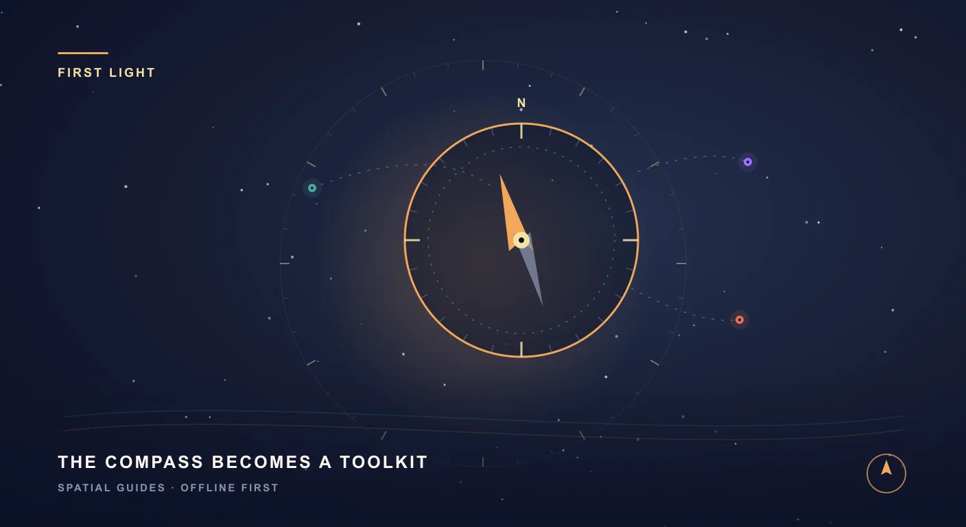
SIMT opens on a compass dial, and that dial is the heart of the whole app. It shows a smooth, sensor-fused heading, and around its ring it places every target you have saved, each one sitting at its true bearing so you always know which way to turn.
- Each target on the ring shows its direction and live distance, so finding something is as simple as walking until it lines up with the top of the dial.
- The dial fuses your device's compass, accelerometer, and gyroscope into a steady heading that does not jitter or lag.
- It needs no map tiles and no connection: the compass is pure geometry between where you are, where you are facing, and where your targets sit.
It is a deliberately simple idea with a lot of range: the same dial guides you to a cafe two streets away or a mountain two countries over.
Targets, six ways: from your feet to a far coordinate
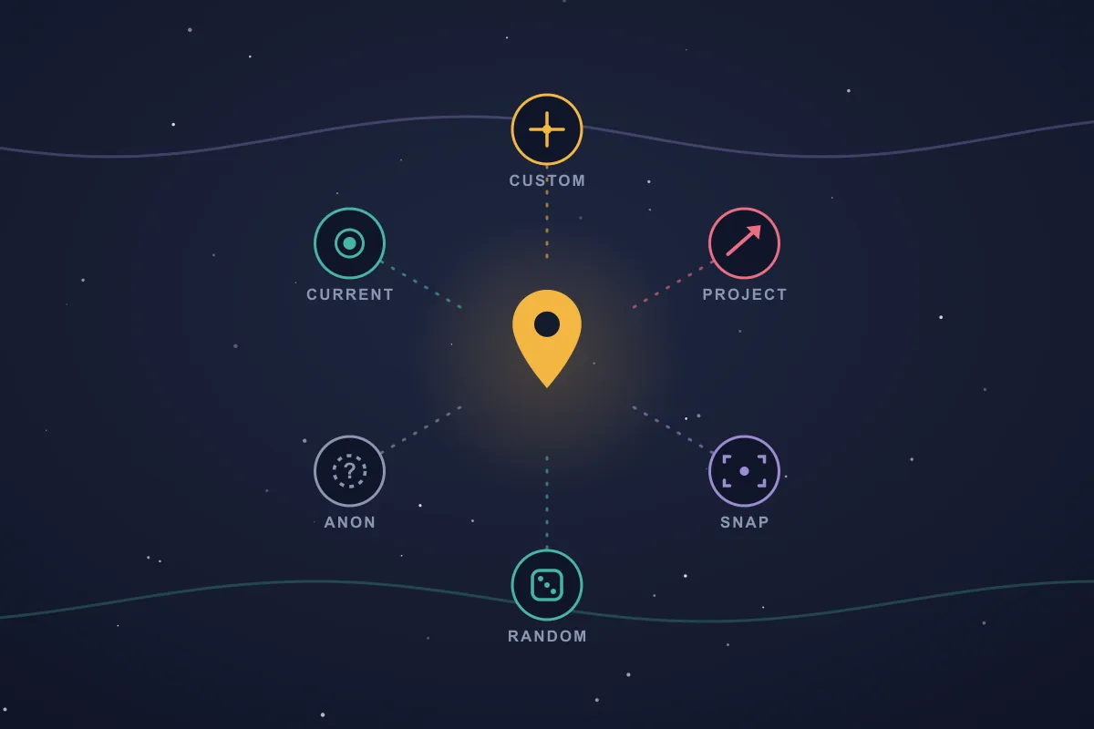
A target is any place you want SIMT to point you toward, and First Light already lets you create them in every way that matters. When you add a target, you choose how its location is set.
- Current location: drop a target exactly where you are standing, the fastest way to remember a spot.
- Custom coordinates: type or paste a latitude and longitude to place a target anywhere on Earth.
- Projection: cast a target out from your position along a bearing and distance, ideal for marking a point you can see but cannot reach.
- Snap: snap a target to a nearby feature, like a city, a river, a coastline, or a patch of land.
- Random: drop a target at a random point within a radius you choose, for games, exploration, or a spontaneous destination.
- Anonymous: create a target with no coordinates at all, a placeholder you can fill in later.
Every target also carries a visibility scope that decides when it shows up on your compass: Private keeps it in your list only, Nearby reveals it when you are within a short distance, and City, Country, or Global widen that out to the whole world. It keeps your dial focused on what is relevant to where you actually are.
Quick actions: capture a photo or your parking spot in a tap
Some targets cannot wait for a form. First Light adds quick actions for the two most time-sensitive captures.
- Quick image target: snap a photo and SIMT saves it as a target on the spot, with the picture attached, perfect for a trailhead sign, a parking pillar, or a shop window you want to find again.
- Quick parking target: save where you parked with a single tap, so the walk back is just a glance at the compass.
Both land in your list like any other target, ready to be renamed, tagged, or shared later.
Predefined targets: a world of places, ready to switch on
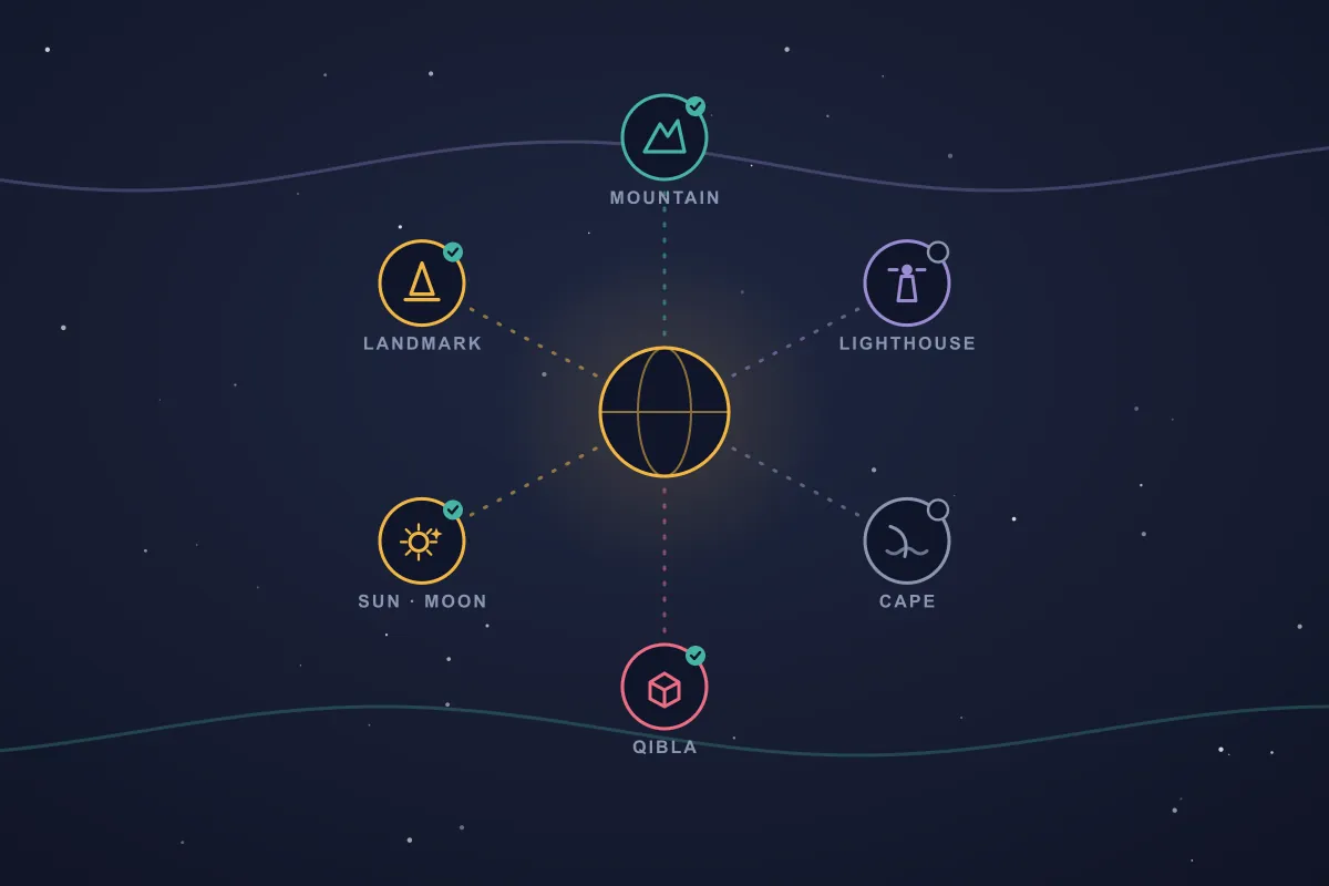
Not every target is one you have to create. SIMT ships with a large catalogue of predefined targets baked right into the app, famous places already named and placed, just waiting for you to reveal them on your compass.
- World landmarks, from the Eiffel Tower to the Taj Mahal, with the ones in your own country surfaced first so the list stays relevant to where you are.
- Natural features the world over: its great mountains, its lighthouses, and its capes.
- Religious sites, including the Qibla, so the direction of prayer is always a single tap away.
- The Sun, the Moon, and the planets as live sky targets that move across your compass in real time, alongside a selection of bright stars.
Each category is a switch: show the ones you care about and hide the rest, so your dial stays focused on what matters to you. Once a predefined target is visible it behaves like any other, ready to be favorited, opened for details, shared, or set as your destination, and because it ships inside the app, it is always there with nothing to download.
Keep reading The Qibla is one of those built-in targets — here is how to face Mecca precisely from anywhere on Earth, fully offline.How to Find the Qibla Direction Anywhere — Even With No Internet You are in a new city, a hotel room, a mountain trail, with no signal — which way is the Qibla? Here is how to find the precise direction to the Kaaba from anywhere on Earth, with no internet, and why getting it right is trickier than most apps admit.Iris: see the direction through your camera
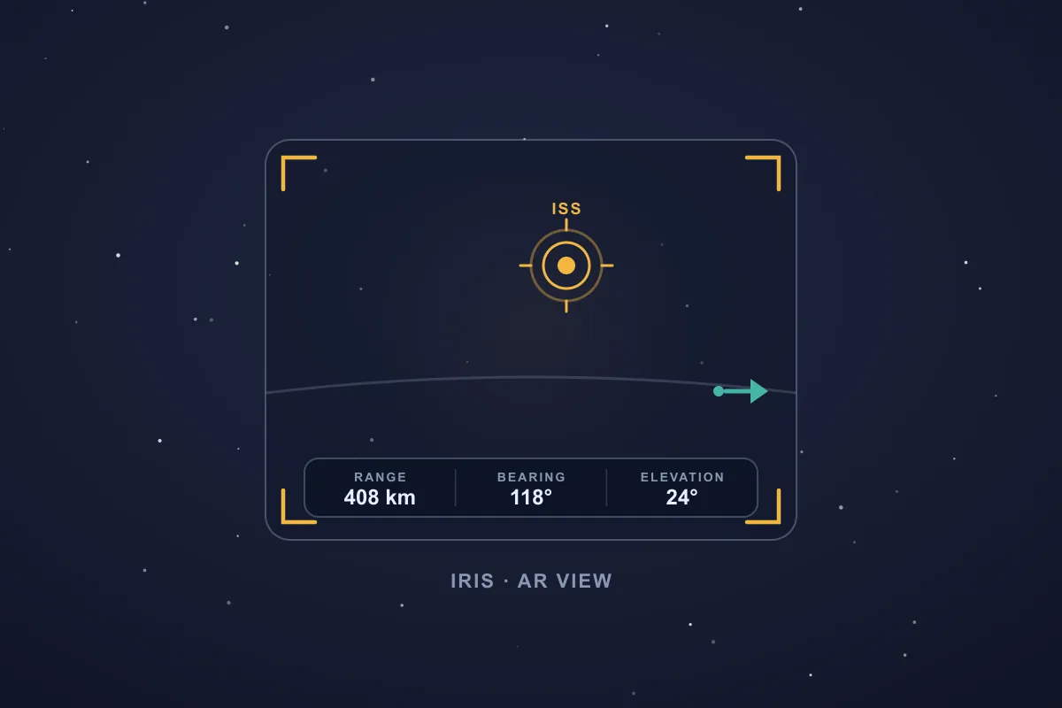
The compass dial tells you which way to turn; Iris lets you look. Iris is SIMT's augmented-reality view: open it on a far-off target or something up in the sky, raise your phone, and SIMT paints that target straight onto the live camera feed, so a heading stops being an abstract number and becomes a point you can actually see.
- When the target is in front of you, a marker locks onto it in the viewfinder with its name; when it drifts out of frame, an arrow points the way until you swing the camera back around to it.
- A heads-up readout keeps its range, bearing, and elevation on screen, so you know not just where it is but how far off and how high.
- It is built for the targets the flat dial struggles with: a peak across a valley, a city beyond the horizon, or the Sun and Moon overhead.
- If the magnetic field around you is noisy, Iris flags it and shows you how to recalibrate with a quick figure-eight motion, so you can trust where it points.
Iris leans on your compass, your camera, and a little geometry rather than heavy AR hardware, so it stays light on the battery and runs on a wide range of phones while turning a bearing into something you can point at and follow.
Keep reading Iris grew into a full AR engine that skips ARCore entirely — here is the math that paints a target onto almost any phone's camera.Iris: AR on Any Phone, Powered by Math Instead of ARCore Most AR apps lean on ARCore and a certified device list. Iris takes a smarter route: it paints any target onto your live camera with pure mathematics, so augmented reality runs on almost any phone, works offline, and barely touches the battery.The plus tools arrive: Track+, Link+, and Ray+
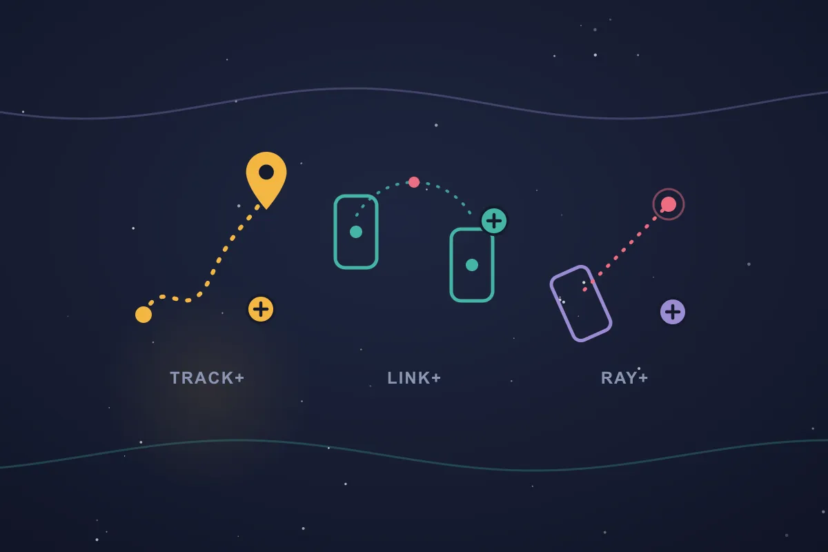
Three of SIMT's signature tools make their debut in First Light. They are younger here than they are today, but the foundation is all in place.
- Track+: record your journey as a track you can review and save, turning a walk, a hike, or a drive into a path you keep.
- Link+: share your live location with someone over the local network, with no account and no cloud. Two phones on the same Wi-Fi watch each other move in real time.
- Ray+: point your camera and measure the real world in augmented reality, reading off the distance to a spot you focus on, or the area of a surface, using ARCore depth.
Each of these grows in later releases, but even in the beta they already cover recording where you went, sharing where you are, and measuring what is in front of you.
Keep reading Track+ has since become a full GPS-denied positioning engine — here is how it keeps locating you after the satellites drop out.SIMT: Revolutionizing indoor & complex navigation Track+ is SIMT's answer to the places where GPS collapses: underground parking, stairwells, malls, stations, tunnels, and dense indoor spaces. It combines pedestrian dead reckoning, visual-inertial odometry, barometer altitude, magnetic and Wi-Fi fingerprinting, and beta audio stride detection into one on-device positioning pipeline.Measure with your fingers, then make a game of it
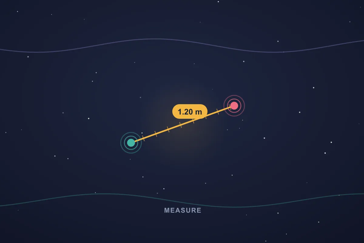
Beyond AR, First Light includes a direct, tactile Measure tool: place your fingers on the screen and read the distance between them mapped to the real world, a quick way to size something up with no extra hardware.
- Pinch and drag to measure, with the result updating live as you move your fingers.
- A built-in Game mode turns measuring into practice: SIMT names a target length and you draw a line as close to it as you can, scoring how near you got across easy and hard rounds.
It is equal parts useful tool and a way to sharpen your eye for distance.
Keep reading Measure grew into a calibrated caliper that can even size a ring off your screen — here is the trick.How to Measure a Ring Size With Your Phone (No Ring Sizer Needed) You want to buy someone a ring as a surprise. You obviously can't ask for their finger size. But you can borrow a ring they already own for thirty seconds — and your phone can turn that ring into a number. Here is how SIMT's Measure tool makes your screen a calibrated caliper, and everything else it can measure once you have it open.The offline map and planner: your targets on a world that needs no signal
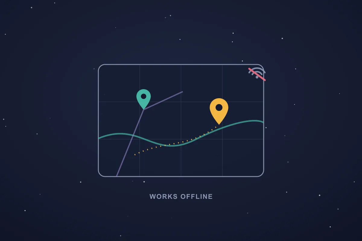
The compass is for the field; the map is for the overview, and in First Light that whole map works with no connection. SIMT draws its own offline world map from map data bundled inside the app, so you can pan and zoom across continents, coastlines, and countries, see your targets in place, and plan a route in airplane mode without a single bar of signal.
- The base map is fully offline: its tiles ship inside the app, so the continents, coastlines, and countries are always there to orient you, even in airplane mode.
- See all your targets at once on the map, and tap any of them to open its details.
- The Planner's Distance tool lets you pick two targets, or your current location and a target, and instantly reads out the distance between them, all computed on your device.
Together, the compass and the offline map cover both the which-way-do-I-turn and the how-does-it-all-lay-out views of your world, with or without a connection.
Offline reverse-geocoding: every point gets a name
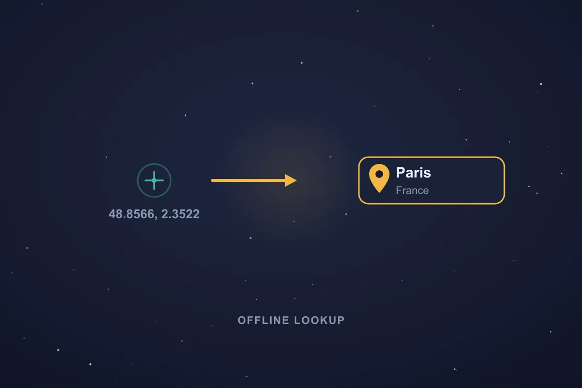
Coordinates locate a place; names make it yours. First Light turns a latitude and longitude into a human-readable place entirely offline, using a worldwide index of cities and countries bundled inside the app. No connection, no lookup server, and no hint of where you are ever leaving the device.
- Your current location reads as the nearest city and country rather than a raw number, computed on your device from the bundled index.
- The places you save can carry that name too, so a coordinate you dropped becomes recognisable at a glance in your target list.
- The same on-device place data underpins the Snap target type, letting you anchor a target to the nearest city or feature with no network at all.
The part of navigation that usually phones home, turning a position into a place, happens right on your device in SIMT, like everything else in the beta.
Tags and travel mode: organize as you go
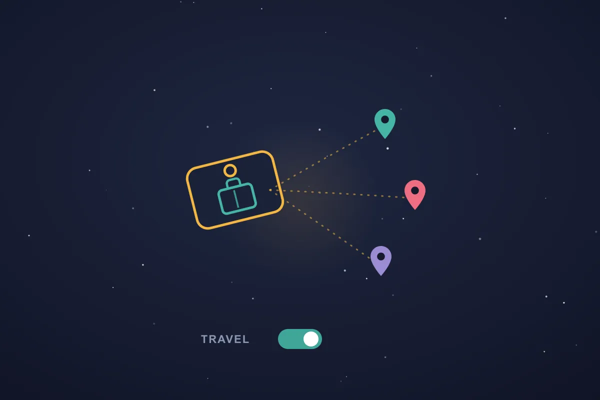
As your target list grows, tags keep it organized. You can group targets under any tag you like, and tags carry their own visibility scope just as targets do.
- Tag targets to group them by trip, project, or theme, and filter your compass and lists down to a single tag.
- Travel mode makes a tag automatic: turn it on, pick a tag, and every new target you create is filed under it until you turn it off, ideal for a holiday, an expedition, or a day of scouting.
It means a week of travel can sort itself into one neat collection without you tagging a single target by hand.
Share, check in, and jump to Google Maps
A place is more useful when you can pass it on and act on it. First Light wires targets into the rest of your phone.
- Share by link: send any target as a link, and whoever opens it can add the exact same target to their own SIMT in a tap, with no account and no sign-up.
- Open in Google Maps: hand a target off to your preferred maps app for turn-by-turn directions when you want them.
- Check in: log a visit at a target from your current location, and SIMT remembers when you were last there.
The compass gets you pointed; these shortcuts let you share the spot, navigate it, and keep a record of your visits.
SIMT on your wrist: the compass comes to Wear OS
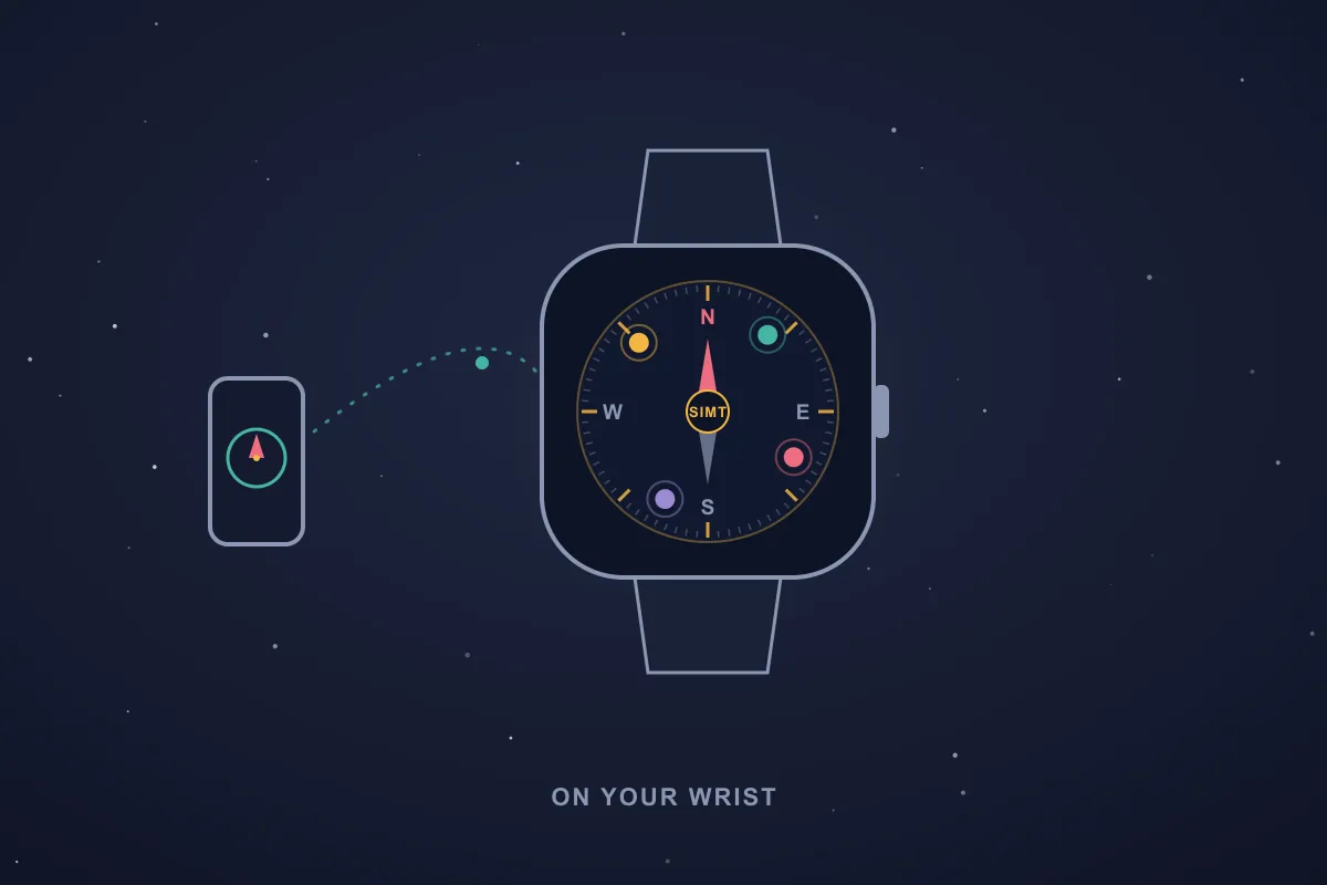
SIMT does not stop at your phone. A companion app for Wear OS puts the same idea, a compass that points to the places you care about, right on your wrist, so a quick glance at your watch is enough to know which way to go.
- A full compass dial on the watch shows your live heading, with your targets placed around the ring at their true bearing, each a glowing dot you can read at a glance.
- Targets sync to the watch from your phone over the Wear Data Layer, a direct local link with no cloud in between, and a tap refreshes them whenever you want.
- Drop a target at your current location straight from the watch; if your phone is out of range, it is queued and synced the moment the two reconnect.
- The compass runs on the watch's own sensors, so it keeps pointing even when your phone is tucked away in a bag or pocket.
It is the smallest screen SIMT runs on, and for a quick check of which way to head on a hike or in a crowd, it is often the only one you need.
Yours, on your device: privacy and a one-tap cleanup
SIMT's privacy stance was set in this very first beta: your data lives on your device, full stop. There is no account to create and no cloud to sync to, and the app works without a connection.
- Targets, tracks, tags, images, and settings are all stored locally on your phone.
- A one-tap Data cleanup wipes everything SIMT has saved on the device, giving you a clean slate whenever you want one.
- Because nothing is uploaded, deleting it locally means it is genuinely gone, not just hidden on a server somewhere.
Every feature added since has kept this promise: SIMT is a tool you own, not a service that watches you.
First Light, and everything after
First Light was the start. The Constellation Update later brought the night sky, custom map labels, and a raw GNSS engine; the Cosmos Update brought a full redesign, automations, and offline tap-to-link. But the compass dial, the targets, the plus tools, and the privacy promise you see here are the foundation all of it stands on.
Keep reading The story continues in the Constellation Update — the night sky arrives, along with custom map labels and a raw GNSS engine.What's New in SIMT 1: The Constellation Update The Constellation Update is SIMT's biggest release wave to date: write on your own maps, command positioning satellites, fly through a living solar system, play GeoQuest, link multiple devices, and back everything up to Google Drive — all from one compass app. Download SIMTGet SIMT on Google Play and start with the same compass dial that First Light introduced, now with everything the Constellation and Cosmos updates added on top.If you are reading the release notes in order, this is page one. Everything else is what happened when the foundation held.
Questions answered in this guide
What is First Light?
First Light is the codename for SIMT's first public beta, the original release that introduced the offline compass, targets, the plus tools, and the privacy model the app still uses today.
How can I add a target in SIMT?
You can drop one at your current location, type or paste exact coordinates, project one along a bearing and distance, snap one to a nearby feature like a city or coastline, place a random one within a radius, or create an anonymous target with no location yet. Quick actions also let you capture a photo target or save your parking spot in a single tap.
What are Track+, Link+, and Ray+?
They are three of SIMT's core tools. Track+ records your path, Link+ shares your live location with people on the same local network with no cloud, and Ray+ measures real-world distance and area in augmented reality. All three debuted in this beta and were expanded in later releases.
Does SIMT work offline?
Yes. The compass, targets, measuring, the offline world map, its distance planner, and even turning coordinates into place names all work with no connection. Only optional extras, like opening a target in Google Maps, use the network.
Does the map work without internet?
Yes. First Light ships an offline world map whose tiles live inside the app, so you can browse continents, coastlines, and countries and see your targets on them with no signal. Place names are resolved offline too, with reverse-geocoding that turns coordinates into the nearest city and country from a bundled index.
Where is my data stored?
Entirely on your device. SIMT has no account and no cloud in this release, and a one-tap Data cleanup permanently removes everything the app has saved locally.
How do I share a target with someone?
Share it as a link from the target's actions. When the other person opens the link, they can add the identical target to their own SIMT instantly, with no account required.
What is Iris?
Iris is SIMT's augmented-reality view. Open it on a far-away or sky target and it overlays that target on your live camera feed with a marker, an arrow that points the way when the target is off-screen, and a readout of its range, bearing, and elevation. It uses your compass and camera rather than heavy AR hardware, so it stays light on battery and works on a wide range of phones.
What are predefined targets?
A built-in catalogue of ready-made targets that ship inside SIMT: world landmarks, mountains, lighthouses, capes, religious sites including the Qibla, and the Sun, Moon, planets, and bright stars. You switch the categories you want on or off, and once shown they work like any other target on your compass, with nothing to download.
Does SIMT work on Wear OS?
Yes. A companion Wear OS app shows the SIMT compass on your wrist, with your targets placed around the dial at their true bearing. Targets sync from your phone over the local Wear Data Layer with no cloud, the watch compass runs on its own sensors so it keeps working when your phone is away, and you can even drop a target at your current location right from the watch.
More from SIMT Blog

Release update
What's New in SIMT 2: The Cosmos Update
SIMT 2 arrives with a warm deep-space redesign and the biggest feature wave the app has ever shipped: Automations, gift views, target bulk actions and archiving, moon phases, seven UI roles, a hardened GNSS engine, and real performance gains.
Release update
What's New in SIMT 1: The Constellation Update
The Constellation Update is SIMT's biggest release wave to date: write on your own maps, command positioning satellites, fly through a living solar system, play GeoQuest, link multiple devices, and back everything up to Google Drive — all from one compass app.