
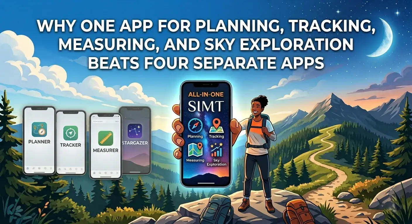
The four-app problem
Think about what most people install when they need spatial tools beyond a standard mapping app. A compass app for direction. A measurement app for distances or leveling. A satellite tracker for ISS passes. A local sharing tool for group coordination. Maybe an astronomy app for planets and Moon phases on top of that.
Each of these apps works in isolation. None of them know about your saved targets. None of them share compass calibration state. None of them hand off context when your need shifts from measuring a space to navigating toward a destination to checking whether the Moon will be bright tonight.
- Switching between apps breaks focus and loses spatial context.
- Each app requires its own permissions, storage, and learning curve.
- No shared target database means re-entering locations across tools.
- Battery drain multiplies when multiple sensor-heavy apps run separately.
- Offline behavior is inconsistent across different products from different developers.
What integration actually means in practice
Integration is not just putting features next to each other in one download. The real value comes from shared context. When your compass, targets, measurement tools, sharing layer, and sky data all operate on the same spatial model, the transitions between tasks become seamless instead of jarring.
- Targets saved for navigation are accessible from measurement and sky tools.
- Compass calibration and sensor state are consistent across all features.
- Offline behavior works the same way everywhere because it is one product with one design.
- Permissions are requested once instead of piecemeal across multiple installs.
Planning and navigation without app-switching
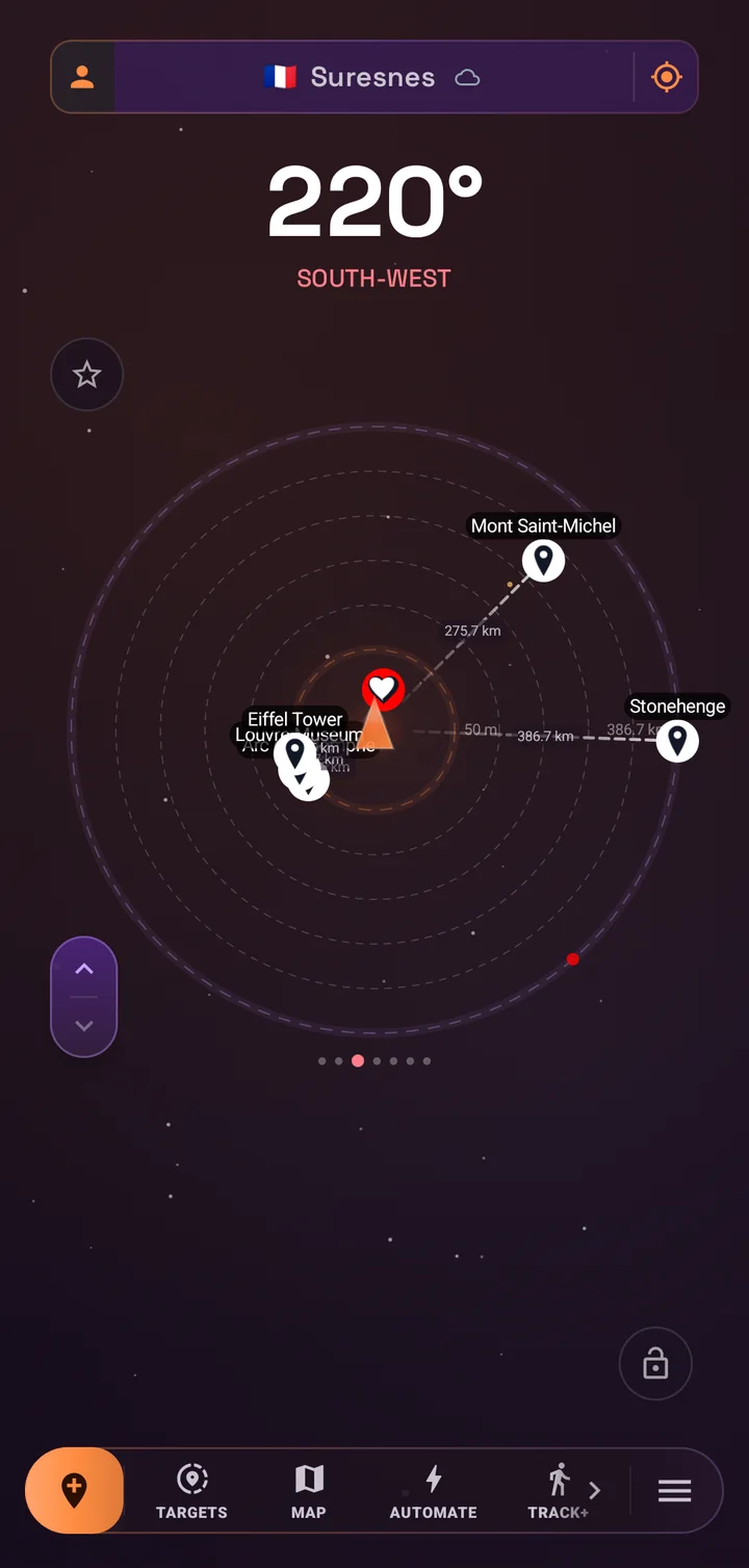
A standalone compass app tells you which direction you are facing. A standalone map app shows roads and points of interest. Neither gives you the full planning workflow: saving a target with notes, photos, tags, and coordinates, then navigating toward it with compass bearings, then falling back to offline geocoding when data drops.
In SIMT, planning and navigation are part of the same flow. Create a target from the map, a photo, a QR code, or manual coordinates. Add notes and tags. Navigate using compass direction, map view, or both. When connectivity drops, offline geocoding and offline map fallbacks take over automatically.
This continuity matters because real navigation is rarely just one task. You plan, then you move, then you re-plan, then you check direction, then you save a new point. Doing that across two or three apps introduces friction at every step.
Tracking where GPS fades
Most navigation apps assume stable GPS. When the signal weakens in a parking garage, a basement, or a dense urban canyon, they simply spin or drift. A separate indoor tracking app might help, but it will not share your saved targets or compass state.
SIMT Track+ is built into the same product as the compass, targets, and maps. When GPS degrades, Track+ picks up with camera motion, step detection, sensor fusion, and checkpoints. The transition is smooth because there is no app boundary to cross. Your targets, your route context, and your compass state are all still there.
Keep reading That smooth hand-off is a serious piece of engineering. Here is how Track+ keeps positioning you after GPS drops.SIMT: Revolutionizing indoor & complex navigation Track+ is SIMT's answer to the places where GPS collapses: underground parking, stairwells, malls, stations, tunnels, and dense indoor spaces. It combines pedestrian dead reckoning, visual-inertial odometry, barometer altitude, magnetic and Wi-Fi fingerprinting, and beta audio stride detection into one on-device positioning pipeline.The worst time to switch apps is when your signal is already failing. Integration means the fallback is already part of the workflow.
Measurement tools that know where you are
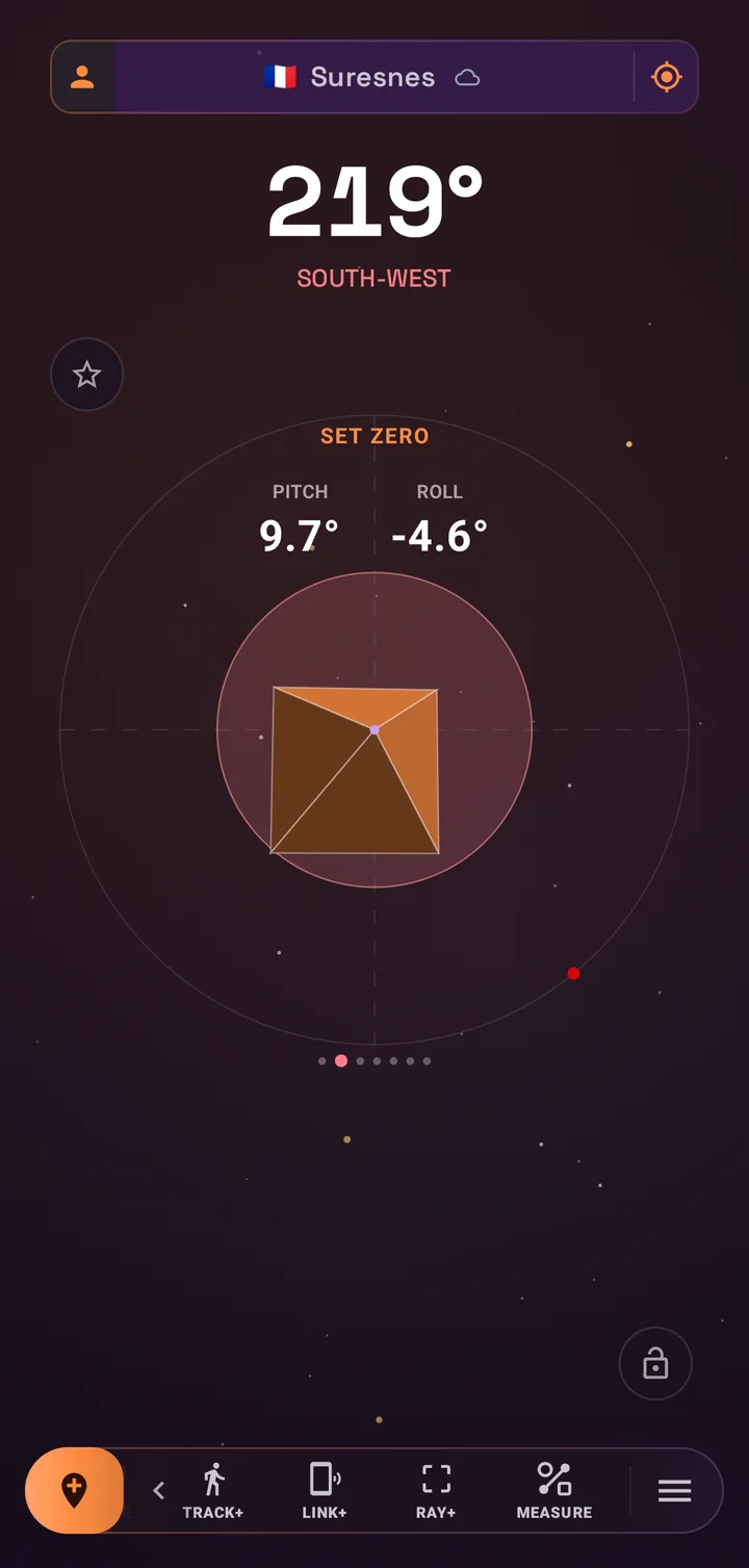
Measurement apps work fine in isolation for quick distance checks. But when you are already navigating to a job site, checking a target location, or documenting a space, switching to a separate app means losing your place. You measure, then switch back, then try to remember which direction you were heading.
SIMT includes Ray+ for AR distance and area measurement, Measure for calibrated on-screen tools, and Plumb Bob for leveling. These are accessible alongside compass and target views, so you can measure a space, then immediately navigate to the next target, then check your compass bearing, all without leaving the app.
- AR measurement with Ray+ for distance and area checks on supported devices.
- Calibrated on-screen measurement for quick sizing tasks.
- Plumb Bob for leveling, pitch, and roll reference.
- All available alongside navigation, targets, and compass without context loss.
Sky exploration without a separate app
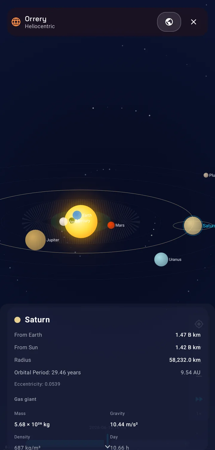
Astronomy apps are often beautiful standalone products, but they create yet another silo. Your sky app does not know about the campsite target you saved in your navigation app. Your navigation app cannot tell you whether the Moon will wash out tonight's stargazing. The tools exist in parallel but never connect.
In SIMT, planets, Moon phases, satellites, celestial targets, and the Orrery live alongside your navigation and measurement tools. You can navigate to a dark-sky site using saved targets and compass direction, check satellite pass times for the evening, confirm the Moon phase, and start observing. One app, one flow.
- Planets calculated with VSOP87, satellites tracked with SGP4, all on device.
- Moon phases and position integrated with the same spatial engine.
- Navigate to an observing site and check sky conditions without switching apps.
- Celestial targets saved alongside ground targets in the same database.
Local sharing without another install
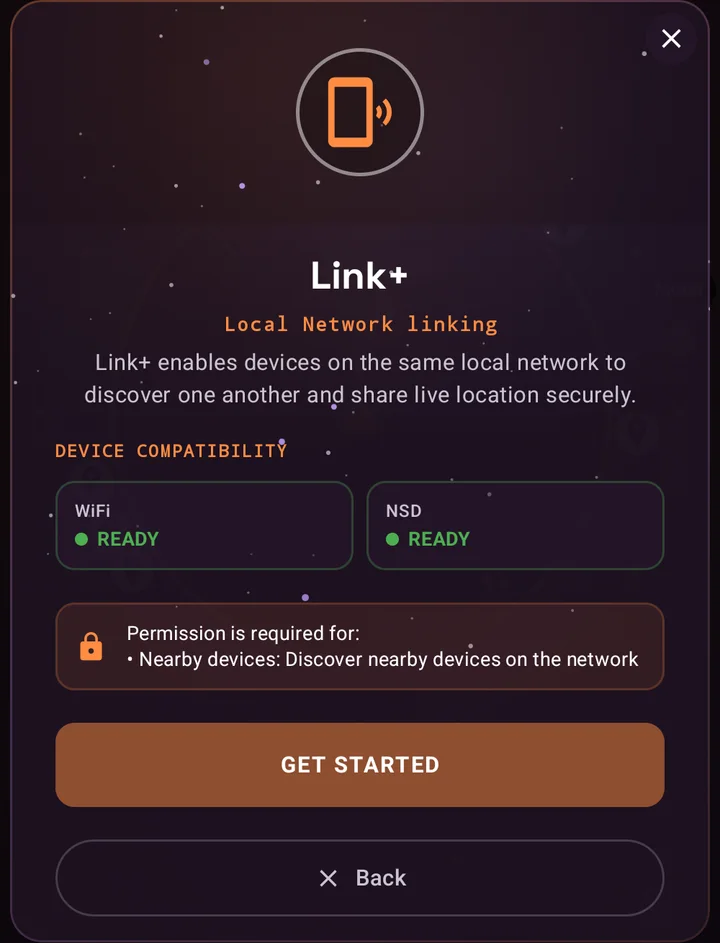
Sharing your position with a small group usually means a dedicated app, a group chat workaround, or a cloud service that requires everyone to create accounts. These solutions assume internet access, which is not always available at festivals, campsites, or large venues.
SIMT Link+ handles live location sharing over the same local Wi-Fi or LAN. No accounts, no cloud dependency, no separate app to install. The people you share with see your position directly, and you see theirs, as long as you are on the same network.
Because Link+ is part of the same toolkit, the shared positions interact with your targets, compass, and map views. It is not a bolt-on feature; it is part of the spatial workflow.
Keep reading Local sharing earns its keep in a packed crowd. Here is finding your group at the World Cup with no signal at all.How to Find Your Group in a Packed World Cup 2026 Stadium — Even With No Signal The whistle blows, the stadium erupts, you turn around — and your friends are gone. Here is how SIMT Link+ reunites your group over the local network or a private offline connection, with secure NFC and QR pairing when the stadium network cannot help.Offline-first behavior across every feature
One of the biggest advantages of a single integrated toolkit is consistent offline behavior. When you use four separate apps, each one has its own approach to connectivity loss. Some cache gracefully. Some crash. Some silently degrade. You never quite know which tools will work until you lose signal.
SIMT is designed offline-first across all features. Compass views, targets, astronomy calculations, measurement tools, and offline geocoding all work without internet. The offline behavior is predictable because it is one product built around one principle: stay useful when connectivity is unreliable.
Privacy as a side effect of integration
Every app you install is another surface for data collection, another privacy policy to read, another set of permissions to grant. Four spatial apps means four companies with access to your location data, sensor readings, and usage patterns.
SIMT keeps all data on device by default. Targets, images, settings, observing history, and measurement records stay local. Optional Google Drive backup is available only when you choose it. One app, one privacy model, one set of clear permissions instead of four opaque ones.
When separate apps still make sense
Not every situation calls for one toolkit. If you only ever need a simple compass for occasional direction checks, a standalone compass app is fine. If your entire workflow is turn-by-turn road navigation, a dedicated mapping service with live traffic data will serve you better. SIMT is not trying to replace Google Maps for driving directions.
The one-app advantage matters most when your needs span categories: when you plan targets and navigate and measure and track the sky and sometimes share position and sometimes lose signal. In those situations, the integration pays off because the transitions between tasks happen constantly and friction adds up fast.
- For single-purpose tasks, standalone apps are fine.
- For cross-category workflows, integration reduces friction at every transition.
- SIMT is strongest when your spatial needs shift frequently within the same outing.
- The value scales with how often you currently switch between separate tools.
The case for one toolkit
The argument is not that separate apps are bad. It is that separate apps create unnecessary friction when your spatial needs overlap. Planning, tracking, measuring, sharing, and sky exploration are not unrelated activities. They are different facets of the same question: where am I, where is the thing I care about, and what do I need to know about this space?
SIMT answers that question from one product, with one set of targets, one spatial engine, one offline model, and one privacy policy. For people who regularly cross the boundaries between navigation, measurement, and observation, that integration is not a nice-to-have. It is the main reason to choose one toolkit over four apps.
Carry one app instead of four. The spatial tools you need should work together, not next to each other.
Questions answered in this guide
What does SIMT replace?
SIMT can replace a standalone compass app, a measurement app, a satellite tracker, and a local sharing tool. It combines planning, navigation, tracking, measurement, sky exploration, and local sharing in one offline-first toolkit.
Is SIMT better than using separate specialized apps?
For cross-category workflows where you frequently switch between navigation, measurement, and sky tools, yes. The shared context and consistent offline behavior reduce friction. For single-purpose tasks, a dedicated app may be sufficient.
Does SIMT work offline across all features?
Yes. Compass, targets, offline geocoding, measurement tools, astronomy calculations, and many planning features all work without internet. Offline-first is a product-wide design choice.
Can SIMT share location without internet?
Yes. Link+ shares live position over the same local Wi-Fi or LAN, so it works even without mobile data or internet access.
Is SIMT free?
Yes. SIMT is free, ad-free, and available on Android 9 or later with Wear OS companion support. No subscription or account is required.
Does using one app drain less battery than four?
Generally yes. One app shares sensor access, GPS readings, and compass calibration across features instead of duplicating those resources across multiple separate processes.
More from SIMT Blog
Release update
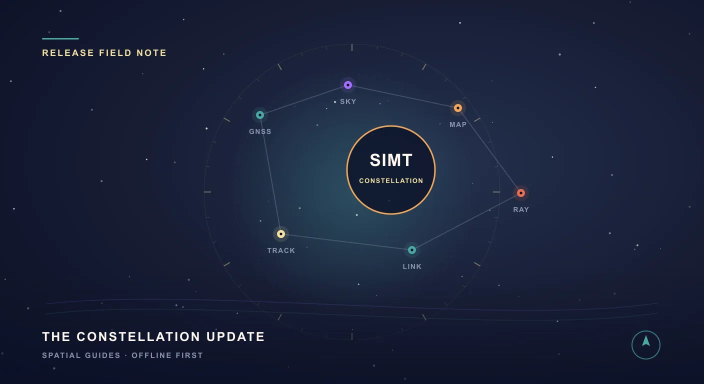
What's New in SIMT 1: The Constellation Update
The Constellation Update is SIMT's biggest release wave to date: write on your own maps, command positioning satellites, fly through a living solar system, play GeoQuest, link multiple devices, and back everything up to Google Drive — all from one compass app.
Core guide
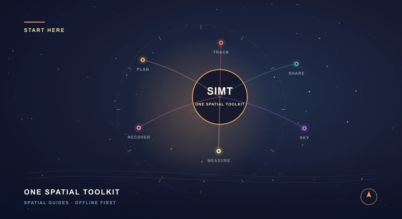
What Is SIMT? The Offline-First Spatial Toolkit for Android and Wear OS
SIMT is an offline-first spatial toolkit that combines planning, tracking, measurement, local sharing, Wear OS sync, advanced GNSS, automation, and astronomy in a single Android experience.