
SIMT in one sentence
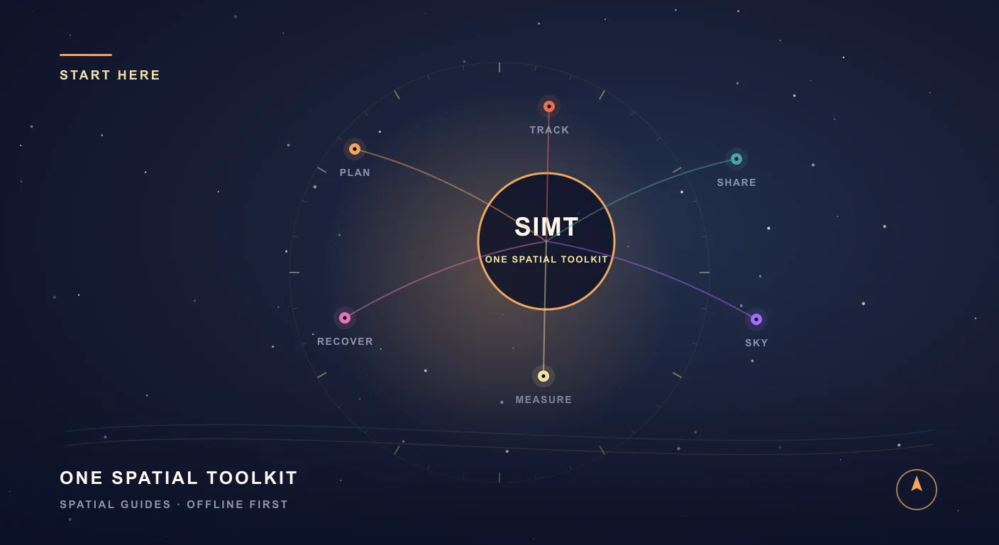
Most spatial products solve one slice of the problem: routes, measurements, positioning, nearby coordination, or the sky. SIMT is built around the fact that these workflows overlap in real life, especially when you are moving through unfamiliar or signal-poor environments.
That is why SIMT is better understood as a spatial toolkit. It is meant to help you orient, plan, recover, measure, share, and verify position across several situations without forcing you to switch products every few minutes.
Keep reading SIMT bundles these overlapping workflows on purpose. Here is the full case for why that beats juggling separate apps.Why One App for Planning, Tracking, Measuring, and Sky Exploration Beats Four Separate Apps Most people carry four or five separate apps for navigation, measurement, local sharing, and sky tracking. SIMT combines all of those into one offline-first toolkit, and the integrated experience is better than the sum of the parts.Why SIMT exists
Ordinary map apps are strong when you have stable connectivity, predictable routes, and a familiar outdoor context. They are less convincing when GPS degrades, the internet is unavailable, you are underground, you need precise directional guidance, or you want to keep the workflow on your device instead of depending on cloud-first services.
SIMT brings connected spatial tasks into one product: saving targets, recovering movement paths, measuring physical spaces, sharing position with people around you, applying advanced GNSS, and using the same device for astronomy and Qibla guidance. Those capabilities are all connected by a single question: where am I, where is the thing I care about, and how do I move or reason accurately from here?
- When signal drops, SIMT still keeps useful offline workflows alive.
- When GPS becomes unreliable, SIMT uses additional device signals and checkpoints to recover context.
- When you need measurement, direction, and tracking together, SIMT keeps them in one place.
- When privacy matters, your targets, images, and settings stay on device by default.
The core capabilities inside SIMT
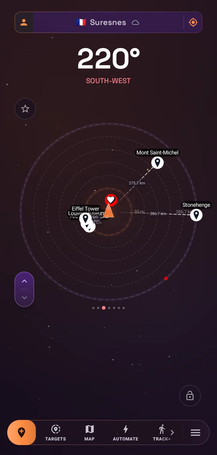
SIMT covers several product surfaces that usually live in separate apps. The exact mix is what makes the app marketable as a toolkit instead of a single-feature utility.
- Plan with targets and maps: create targets from maps, coordinates, photos, QR codes, notes, tags, and landmarks with online and offline map support.
- Track where GPS fades: Track+ combines camera motion, step detection, sensors, and checkpoints to help recover your position in underground parking and other weak-signal areas.
- Measure and align: Ray+ handles AR distance and area measurement, while Measure and Plumb Bob cover calibrated on-screen sizing, leveling, pitch, and roll work.
- Share and sync: Link+ shares live location over the same local Wi-Fi or LAN, and the Wear OS companion syncs targets and keeps navigation on your wrist.
- Explore the sky: planets, Moon phases, satellites with TLE data, celestial targets, and the live Orrery are all available in the same app.
- Stay private by default: data starts on your device first, with optional Google Drive backup only when you decide you want portability.
This range matters because it opens several search surfaces at once: offline navigation, indoor recovery, AR measurement, local sharing, Wear OS navigation, astronomy, privacy-first apps, and accessible direction-finding.
Where SIMT is actually useful
The easiest way to understand SIMT is through the situations it is built for. The app is not trying to replace every mainstream mapping workflow. It is strongest in the moments when ordinary mapping is incomplete, fragile, or too narrow.
- Deep parking recovery: retrace movement inside multi-level garages where GPS fades and remembering the route is harder than expected.
- Marine backup: keep directional context and nearby landmarks useful even when you are offshore or outside normal data coverage.
- Event coordination: share live position with a small group on the same local network without relying on mobile data.
- Measure on site: estimate distances, areas, and alignment when planning furniture, checking a room, or doing light site work.
- Sky tracking: follow planets, Moon phases, satellites, and celestial targets in the same device you already use for ground navigation.
- Accessible guidance: use haptic feedback and TalkBack-friendly behavior for more independent direction-finding and Qibla workflows.
From underground garages to open water and dark-sky nights, SIMT stays useful where ordinary map apps stop.
Offline-first and private by default
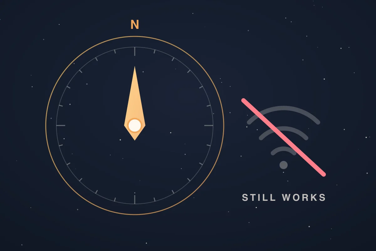
Offline-first does not just mean caching a few map tiles. In SIMT, it means designing the product so target guidance, movement tracking, offline geocoding, fallback map behavior, measurement tools, astronomy calculations, and planning workflows can still do useful work without the network. That design choice is one of the main reasons SIMT feels different from a cloud-shaped product.
The privacy model follows the same principle. Targets, images, and settings stay on your device by default. Backup is optional. Sharing is intentional. Even collaborative flows like Link+ are framed around explicit nearby use rather than passive always-on cloud syncing.
Keep reading That offline-first promise is exactly what separates a real offline navigation app from one that only caches maps.Best Offline Navigation App for Weak Signal, Indoor, and Underground Use The best offline navigation app is not just one that caches maps. For weak signal, indoor, and underground use, you need fallback behavior, direction tools, target recovery, and workflows that stay useful when standard GPS breaks down.Why SIMT works as one connected toolkit
SIMT combines sensor fusion, positioning logic, motion recovery, AR measurement, orbital models, advanced GNSS, automation, and device-to-device coordination. These systems share context instead of behaving like unrelated utilities.
That matters because users do not experience their needs as isolated checkboxes. Someone trying to find a car in a garage may also need saved targets. Someone checking a job site may also need measurement and leveling. Someone exploring the sky may also want reliable directional guidance and offline context. SIMT is built around that overlap.
- Plan targets and keep their directional context available across tools.
- Recover movement, measure spaces, collaborate locally, and explore the sky in the same offline-first system.
- That connected scope makes the product more useful in the field and easier to understand in search.
Who SIMT is for
SIMT is for people who need better spatial confidence than a standard map app provides. That includes travelers, builders, explorers, stargazers, accessibility-focused users, and anyone who regularly moves through places where ordinary digital directions become brittle.
- Explorer mode fits discovery, parking recovery, nearby places, and target management.
- Builder mode keeps measurement, leveling, and visual references within reach.
- Traveler mode focuses on planning, local sharing, Wear OS syncing, and portable targets.
- Astronomer mode brings planets, satellites, Moon phases, and the Orrery to the front.
If your search need sounds like 'I need this to keep working when conditions are bad,' SIMT is usually in the right category.
The short version
SIMT is an offline-first Android and Wear OS toolkit that brings planning, tracking, measurement, local sharing, astronomy, and privacy-aware storage into one product. Its strongest value appears when signal, context, or precision become unreliable and you still need trustworthy spatial tools.
Spatial toolkit is the most accurate description because SIMT answers a connected set of real-world questions rather than a single task. That breadth makes it useful to people in the field and relevant across long-tail searches for offline navigation, tracking, measurement, GNSS, sharing, and astronomy.
Questions answered in this guide
What kind of app is SIMT?
SIMT is an offline-first spatial toolkit covering target planning, underground recovery, AR measurement, advanced GNSS, local Wi-Fi sharing, Wear OS sync, automation, astronomy, and privacy-first storage.
Does SIMT work without internet?
Yes. Many SIMT workflows are designed to stay useful offline, including target guidance, movement tracking, offline geocoding fallback, measurement tools, astronomy calculations, and planning workflows.
What makes SIMT different from a normal map app?
SIMT is optimized for situations where standard mapping is incomplete, such as underground parking, weak-signal areas, local-only sharing, AR measurement, and on-device sky exploration.
Can SIMT share position with nearby people without mobile data?
Yes. Link+ supports live location sharing over the same local Wi-Fi or LAN, which makes it useful for nearby coordination in crowded places.
Does SIMT support Wear OS?
Yes. SIMT includes a Wear OS companion that can sync targets and help you keep navigation available from your wrist.
More from SIMT Blog
Release update
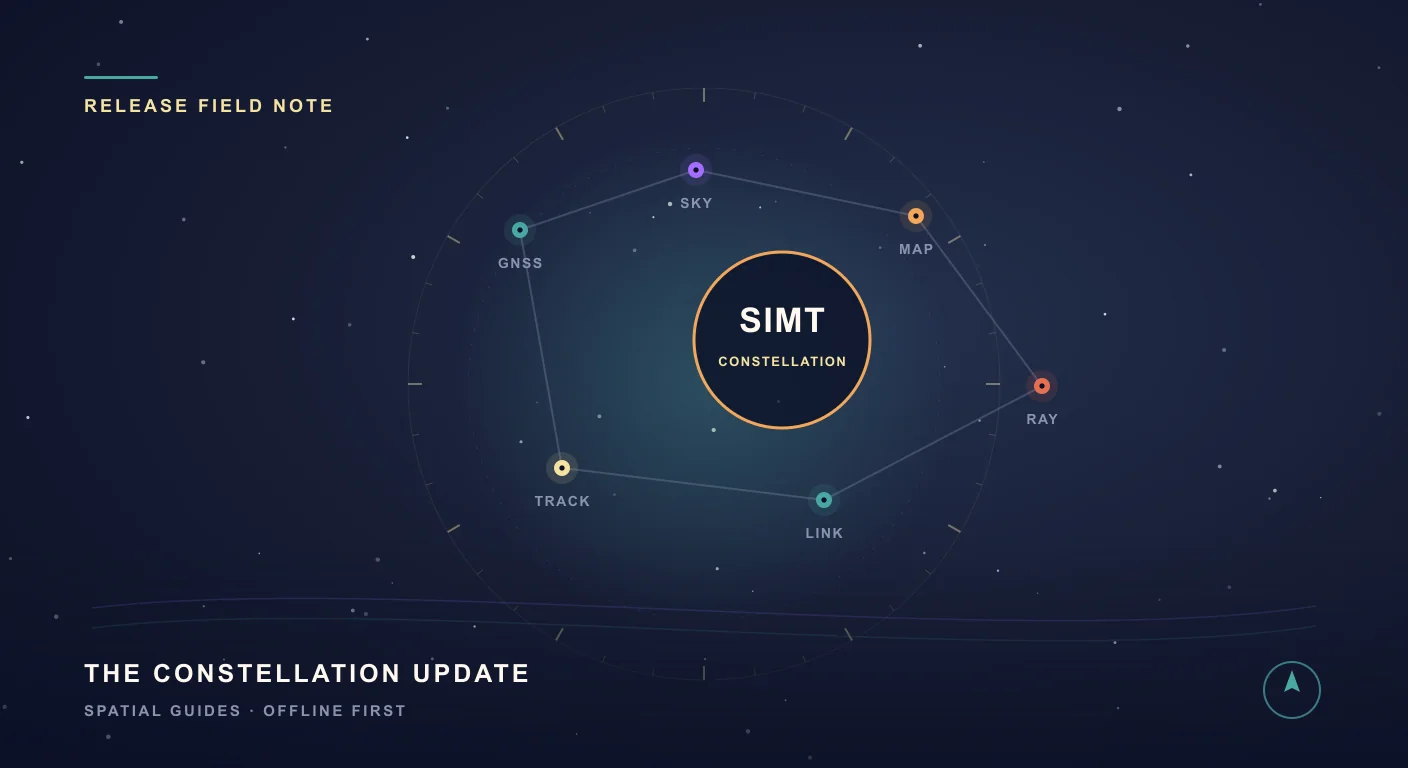
What's New in SIMT 1: The Constellation Update
The Constellation Update is SIMT's biggest release wave to date: write on your own maps, command positioning satellites, fly through a living solar system, play GeoQuest, link multiple devices, and back everything up to Google Drive — all from one compass app.
Why one app beats four
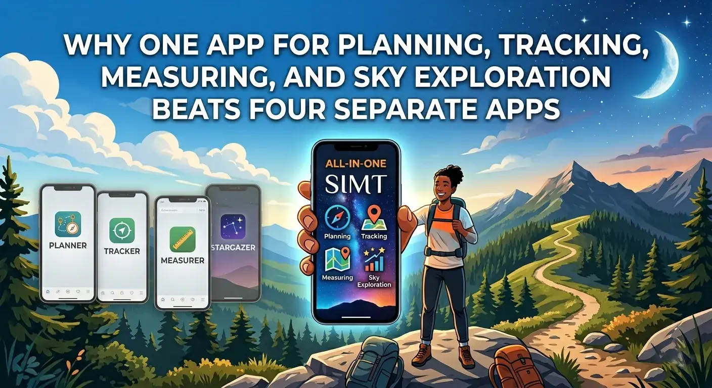
Why One App for Planning, Tracking, Measuring, and Sky Exploration Beats Four Separate Apps
Most people carry four or five separate apps for navigation, measurement, local sharing, and sky tracking. SIMT combines all of those into one offline-first toolkit, and the integrated experience is better than the sum of the parts.